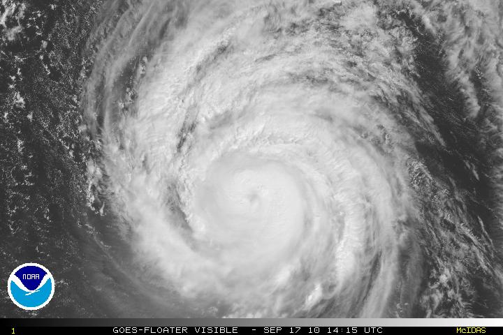
Hurricane Igor still a threat to Bermuda with winds of 120MPH and is still a Category 3 storm. The inner eyewall of Igor has been broken on the west side, but there is still time for this to regenerate. Igor is an environment of very light shear and warm SST’s. Within 48 hours, Igor will start to feel the effects of cooler waters and some gradual increasing of south to southwesterly shear. The steering flow of a subtropical ridge will keep Igor on a NW – NNW for the next few days. After that forecast period, a series of strong short wave troughs that is located in the Northeastern US will turn Igor NE.
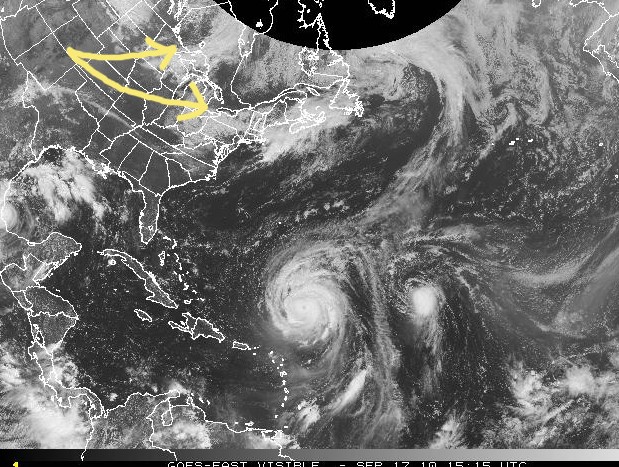
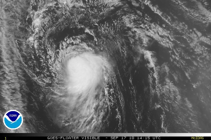
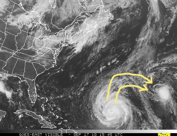
Hurricane Julia is slowly decreasing in strength mostly due to an increasing N to NW shear from the large upper-level outflow from Hurricane Igor. The outflow is from top of the storm Igor and rotates clockwise. Continued weakening is forecast in two of the models and the Dynamical models are forecasting dissipation with Julia being absorbed within the circulation of Hurricane Igor.
Dangerous Hurricane Karl is a Category 3 storm. The eye of Karl will be making landfall in Mexico within minutes, if not now. Karl will start to lose strength once the eye has made landfall due to the interaction with land and the high mountains in Mexico. Major flooding will be a problem.
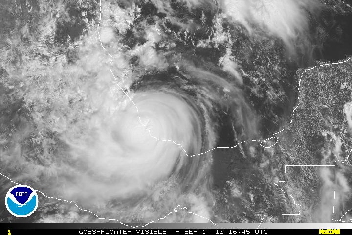
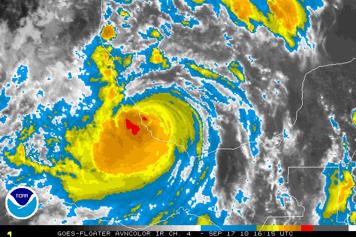
ADDENDUM: The Eye of Hurricane Karl has made landfall just northwest of Veracruz, Mexico – just before 2PM EST.
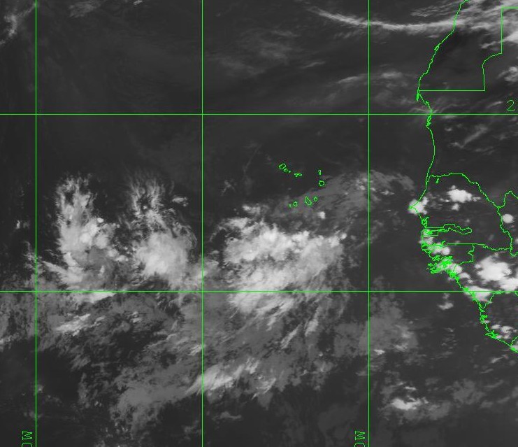
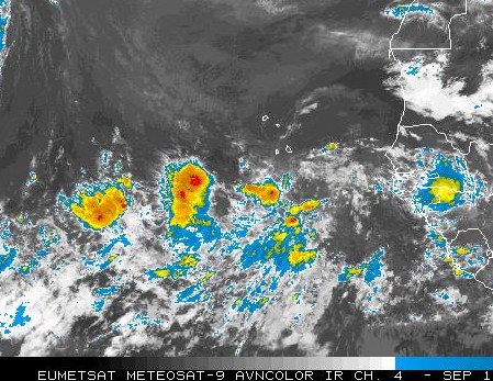
Pre invest PGI45L is still a very series of thunderstorms associated with a broad low pressure system. Since this is the peak of the hurricane season and this area is in the Cape Verde Islands – this system has to be monitored. I feel any development, if any, will probably head NW and away from any land masses.
