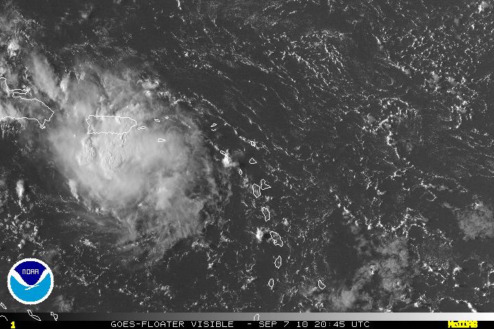
Ex-Gaston who seems to have been around forever has lost most of it’s cyclonic spin is now just under Puerto Rico and the last satellite imagery of Gaston was showing the best convection it has had in a long time. The only problem with Gaston is that he will soon be headed right into Hispaniola. The mountain range there can be very high and has many a time either disrupted a storm or killed it. If Gaston only clips the mountains, Gaston may survive and possibly may develop while in the the western Caribbean.

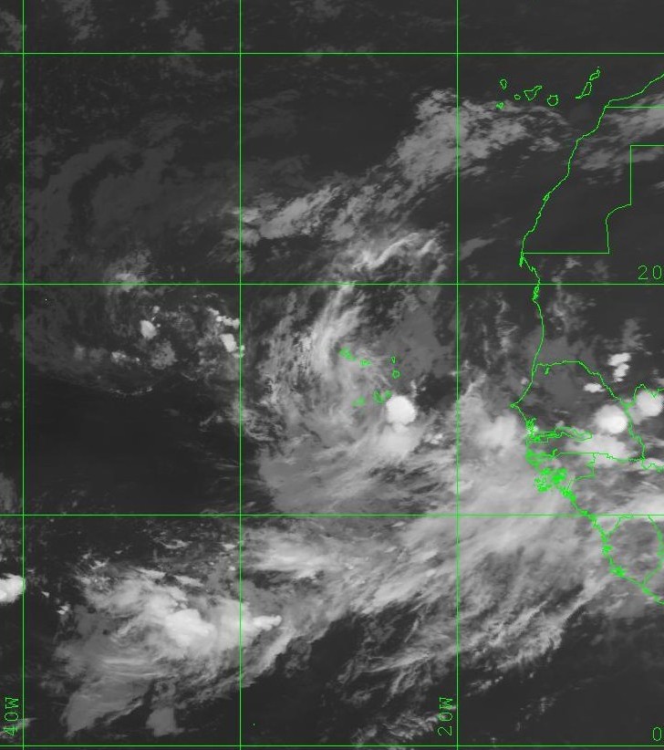
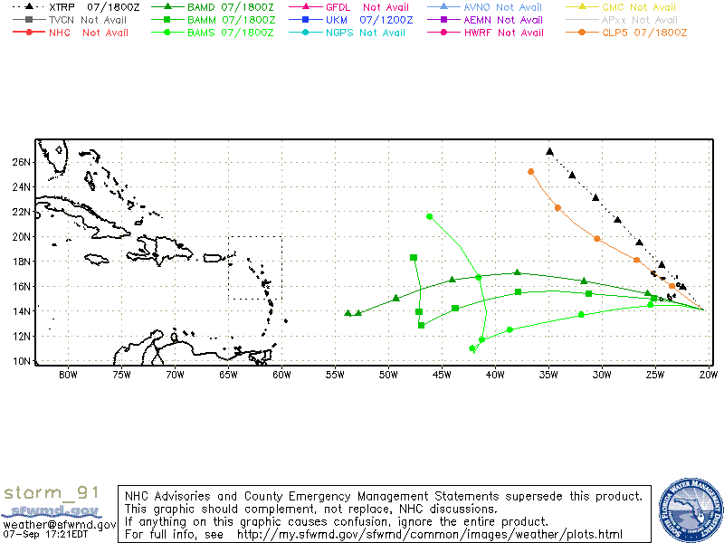
A tropical wave that has just come off Africa has been designated as Invest 91L. This tropical wave does have some decent cyclonic turning but there is some wind shear of about 20-30 knots just north and northwest of it. The shear will relax within the next 24-48 hours. Some on the models have just been initialized thus there may be errors or bias within them. Several models are suggesting this will be our next tropical cyclone.

