Categories
Tropical Weather

Tropical Storm Gaston

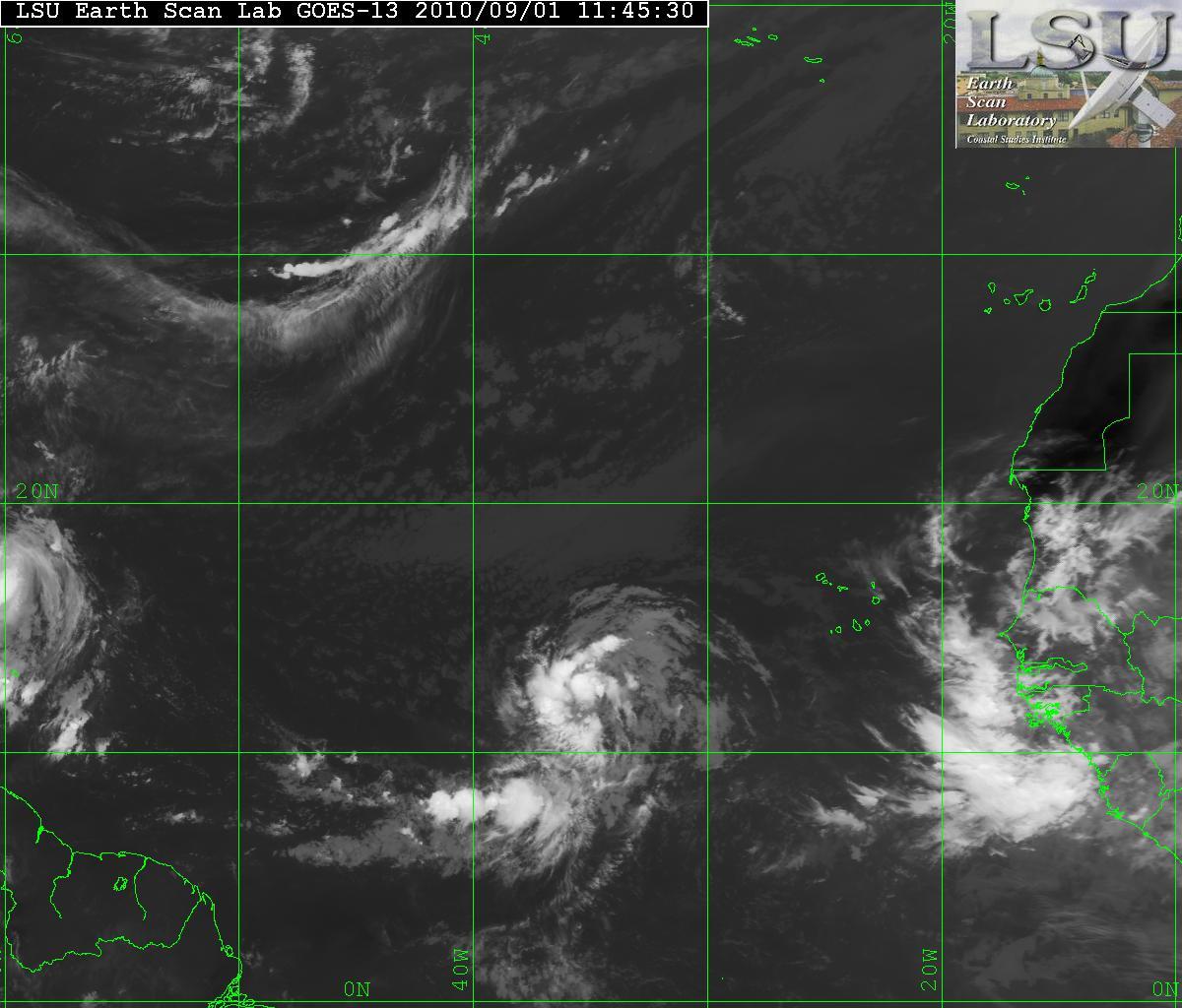
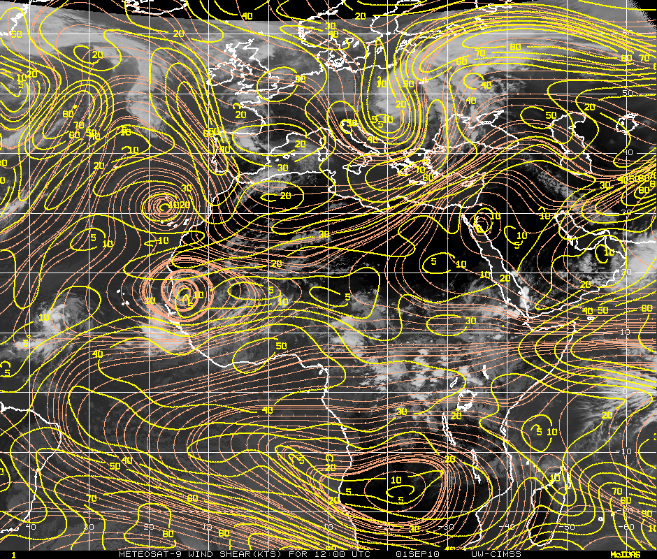
What a day! This morning the wave that was designated as Invest 98L then later in the morning it was then upgraded to Tropical Depression Nine has now been upgraded to Tropical Storm Gaston. I still believe that there will not be too much more intensification because of the the dry air to the north and west though there is little shear – it may but very little. See my previous post about TD Nine.
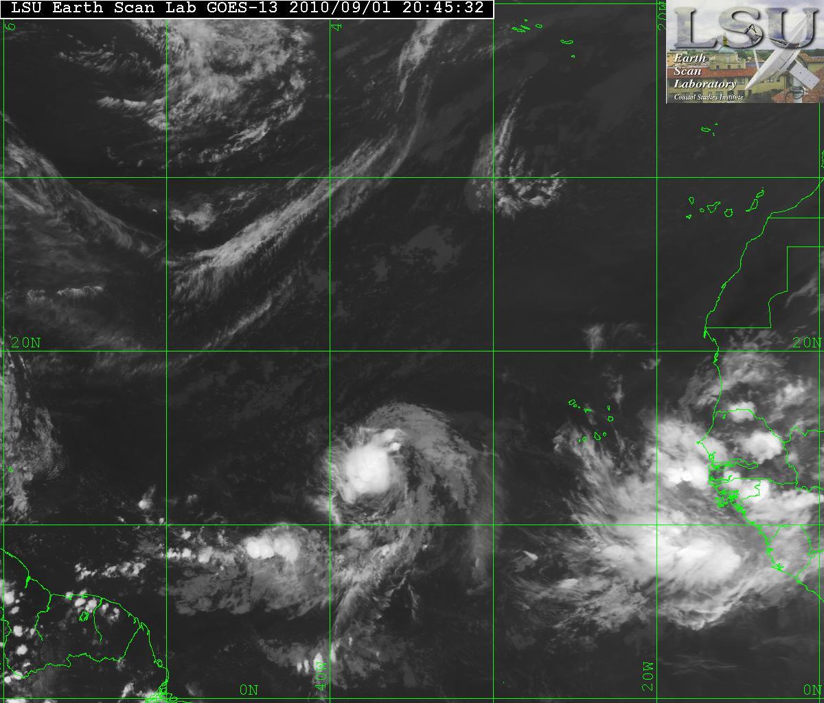
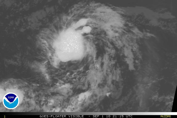
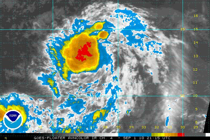
Satellite image of TS Gaston
Satellite image of Gaston
AVN Satellite image of Gaston
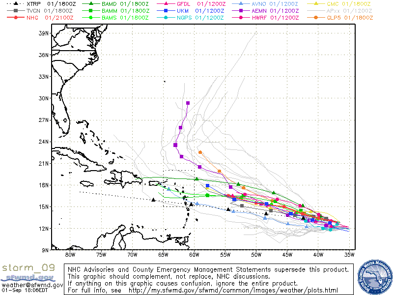
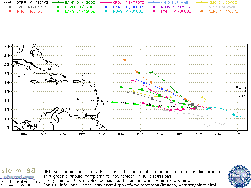
Models for Gaston
Categories
Tropical Weather

Hurricane Earl, TS Fiona, and now TD Nine

Since this is the peak of the Hurricane season the tropics are hot and the trains of storm keep coming off the coast of Africa.
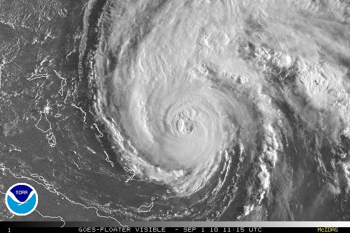
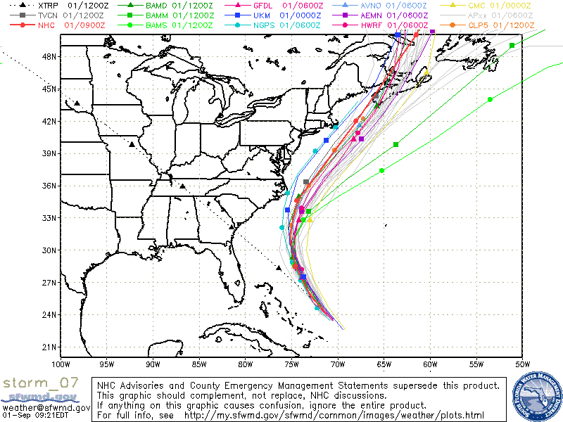
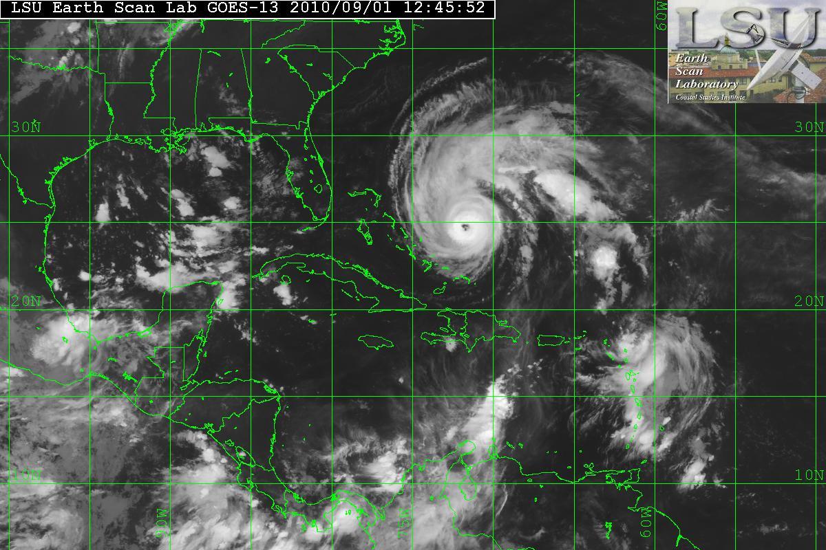
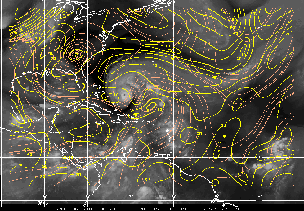
Hurricane Earl is now down to a Category 3 storm and the east coast from NC to Nova Scotia may get some effects from Earl. Earl is over very warm waters and also has a very good Cirrus outflow in a directions with the exception of the south, but Earl is now experiencing some SW vertical shear of 15-20 knots. There is also some mid to upper level dry air which is wrapping around portions of the storm. This should continue for 36 to 48 hours, but after that Earl will be over some cooler SST’s and this should begin to drop the intensity levels. The forecast is for Earl to be extratropical within 96 hours.

Satellite image of Earl
Models for Earl
Satellite image of Earl & Fiona
Wind Shear

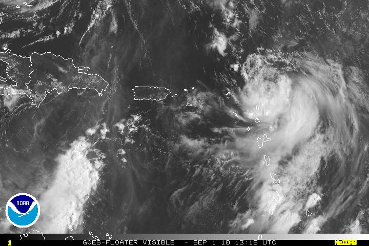
Tropical Fiona has become better organized today. Fiona looks much better with the exception of mid level dry air in the northern quadrant. The forecast for Fiona also better than yesterday which has Fiona dissipating in 48 hours. Most of the latest guidance now believe that Fiona will be a hurricane short term – possibly as soon a late tomorrow even though Fiona is going though some moderate shear. Soon after, there will strong northeasterly shear, mostly due to strong upper level winds associated from Earl. The pattern in a few days has Fiona rapidly weakening.

Satellite image of Fiona
Models for Fiona

LATEST

The tropical wave that came off Africa yesterday and was designated as Invest 98L this morning has now been classified as Tropical Depression Nine. A deep-layered subtropical ridge will keep TD Nine on W track for the next few days. By days 2-3, the ridge will weaken slightly and this will slow down the storm and also let the storm track WNW. Later, by days 4-5 the ridge is expected to strengthen again., and the storm is forecast to accelerate some. The intensity is problematic as although TD Nine will be over very warm SST’s, TD Nine will be experiencing Moderate to Strong vertical shear along with a large SAL to the North and west which should inhibit some of the convection.
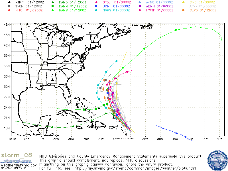
Models are having a very hard time trying to get a grasp on the storm so there will be some bias and error – wait a day or two to see what happens at that time.

Satellite image of TD Nine
Wind Shear
Models for TD Nine