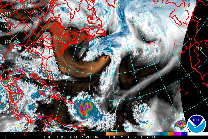
As Hurricane Danielle begins to lose strength and in a few days there will be the transition from tropical to extratropical.
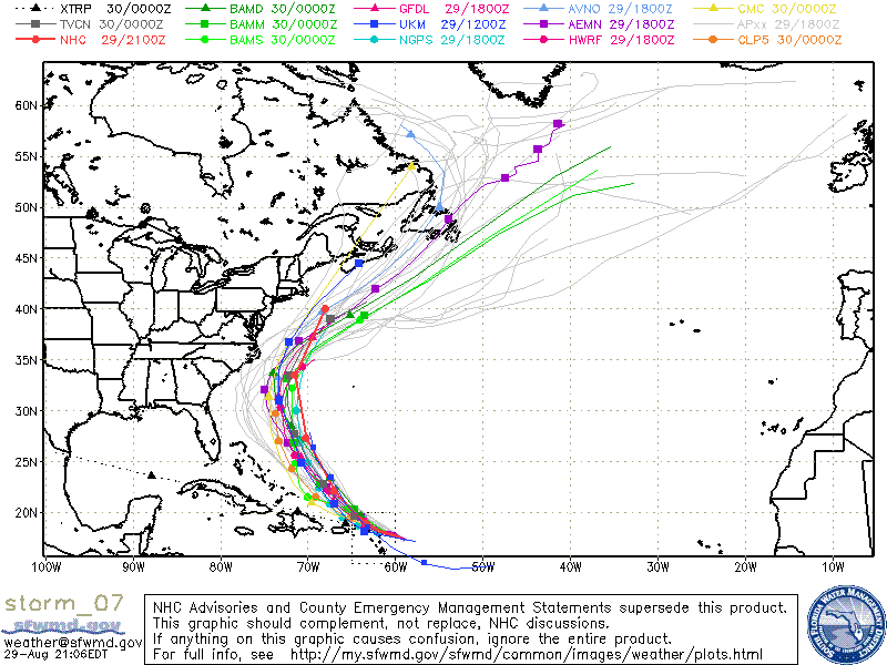
In the meantime, there is Hurricane Earl which will be in a very favorable upper level environment as the shear will be extremely low and the SST’s will be very hot. The forecast is for Earl to become the second major hurricane in 36-72 hours. Although there is some slight differences in the models, they all have Earl making a NW turn and then N. I feel the model track will probably have to be adjusted left of the forecast now, and this brings Earl much closer to the southeast coast of the U.S. This may possibly have the clean side of Earl affecting those from N. Carolina upward to Long Island.


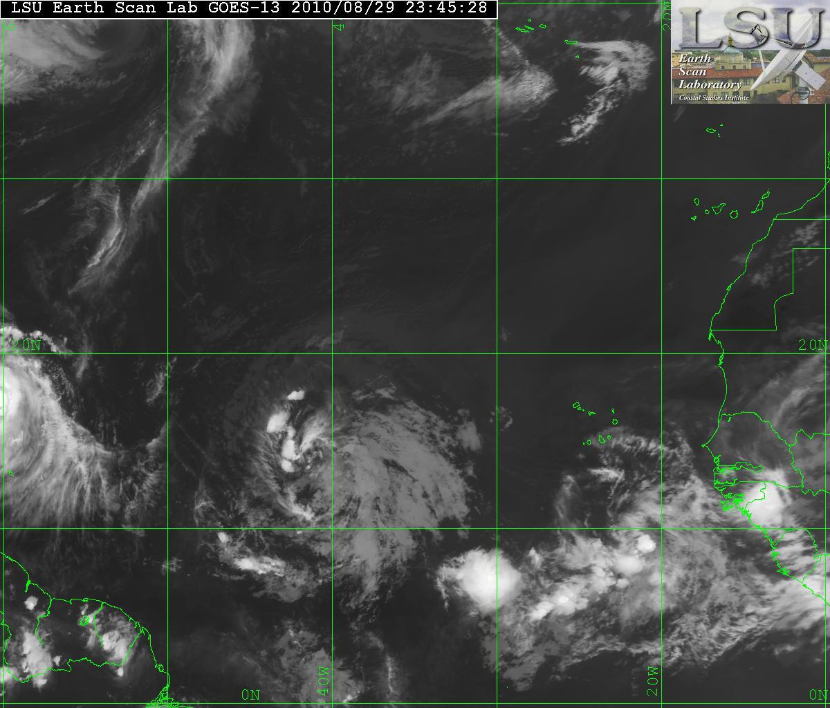
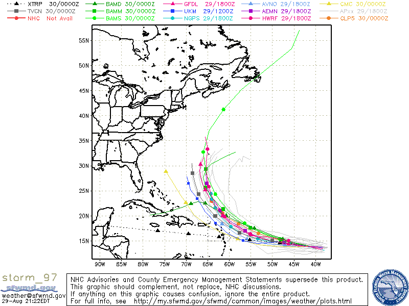
Invest 97L has had a lot of shear but has an excellent cyclonic turning but very little convection. I do not think the models have a grasp on Invest 97L being that it is not even be classified as a depression yet. The models at the moment are forecasting that Invest 97L will turn NW and then N because of a weakness in the ridge. Although a stronger Hurricane Earl would help keep the ridge open a little longer, I don’t see this happening. 97L has been on a westward track and probably will stay that way longer than the forecast then there will be a NW turn. The European model is forecasting that Invest 97l will be a hurricane with landfall somewhere in the central Florida coast but this model has had some problems this year. I believe once 97L has gotten to around 50° W longitude – we will have a better idea where 97L will be headed.


Now after all that, there is a new disturbance that has just come off the coast of Africa. This one at the time shows no development but this is the time of year for all these waves to possibly develop quickly.