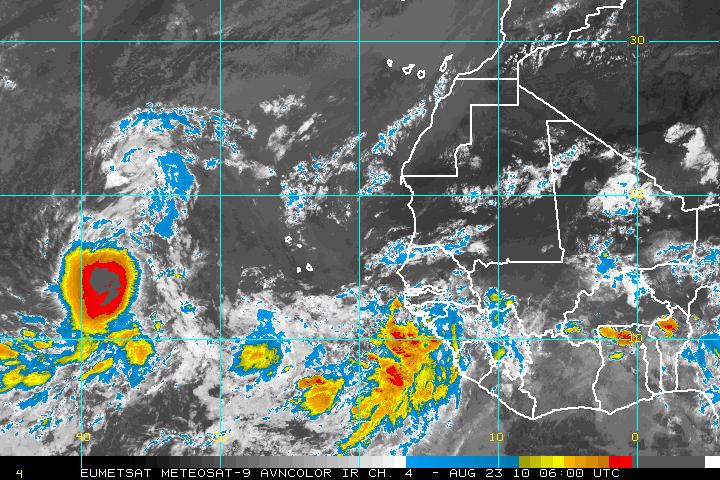
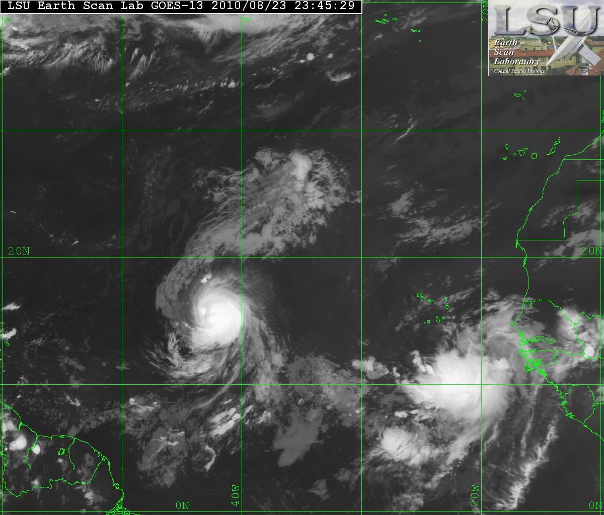
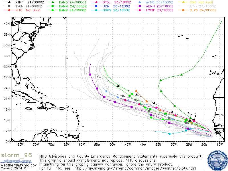
The latest tropical wave that has exited of the coast of Africa has now been designated as 96L. This system has been showing signs of organizing and is expected to become a least a tropical depression within the next few days. This wave is following Hurricane Danielle but it is far away enough so that the two don’t interact each others flow.


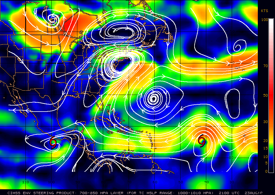
Although the models seem to have 96L following the path that Hurricane Danielle – it is a little early to have that in stone. The forecast for Hurricane Danielle is simple. Danielle will be picked up by a large trof from the the east coast of the US due to a weakness in the ridge. That will allow Danielle to be head NW then NNW and away from the US coast and probably Bermuda. The caviate is that once Danielle is picked up by that weakness in the ridge, later the ridge MAY build back and that may not allow 96L to be picked up. It’s just to early to see what will happen. If it is not picked up, then the East coast of the US may be affected.
