Categories
Tropical Weather

Invest 96L

Although Invest 96L has been around for a few days it is now over the Yucatan Peninsula.

The upper level winds now are in the 20-30 knots range and are not conducive for anything to develop, but the wind shear is forecast to relax in about 36 hours or so.
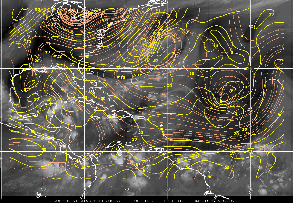
Wind Shear

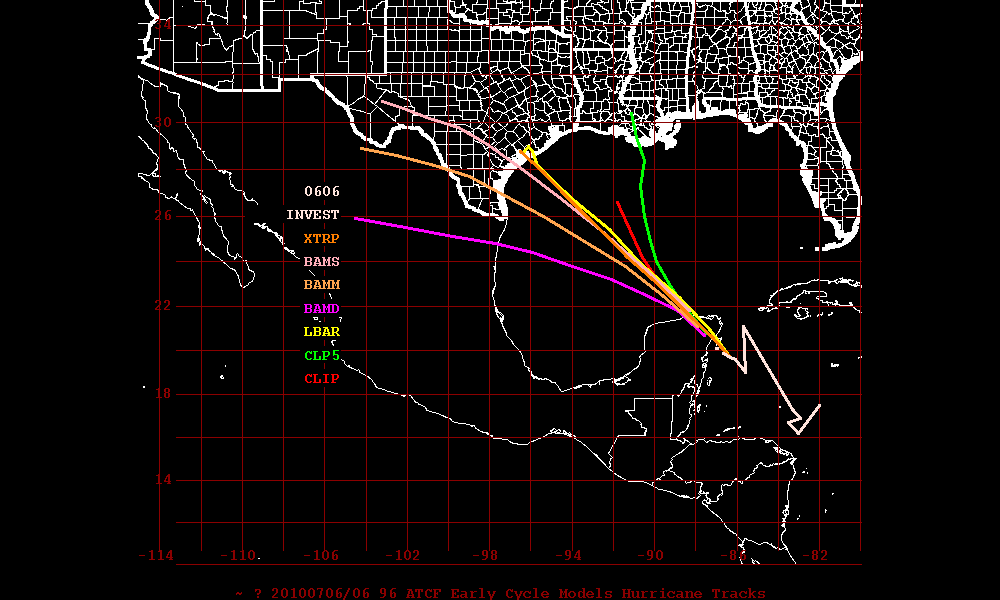
The Dynamic Models do seem to have a better grip than the Statistic Models but remember the models will always fluctuate. At the moment I would tend to stick with the Dynamic Models consensus.
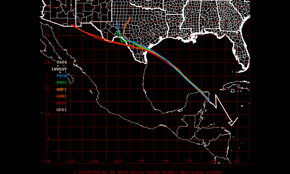
Dynamic Models
Statistic Models

The Steering Layer forecast from PSU Meteorology (not shown) appears that Texas could be threatened but since we don’t even have a center of circulation or developed system yet – time will tell what type of an impact Texas will have, if any.
Categories
Tropical Weather

Was Invest 95L anything tropical?

Did Invest 95L ever meet the criteria to make it a depression or tropical storm? I say NO – it never met the criteria and was nothing but a rain maker with some significant winds.

Tropical Cyclone:
A warm-core non-frontal synoptic-scale cyclone, originating over tropical or subtropical waters, with organized deep convection and a closed surface wind circulation about a well-defined center.

It the time of 1800 (zulu) – 95L had been a frontal boundary. At around 2100 -it detached from the front so it is now on it’s own. Under NHC criteria it requires the organized deep convection to persist for 12-24 hours. Only then if it still meets the criteria – the NHC may classifying a system as a Tropical Cyclone.

Just looking at the radar imagery at the time – it did not have a fully closed circulation. Also the convection was all SW of the “center”. Some people will argue these points and that’s fine – we all have are own feelings. But just using the NHC criteria guide lines  – 95L was just nothing but a  wet and windy storm.