Categories
Tropical Weather

Invest 91L

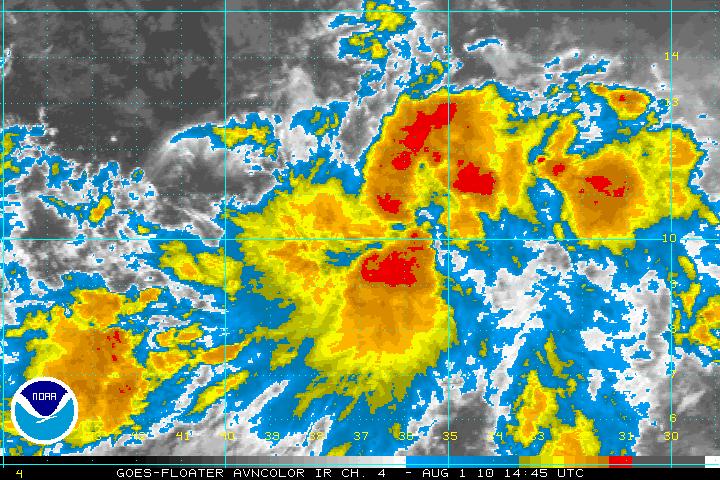
This morning an area of some very intense thunderstorms has become better organized and has now been designated as Invest 91L. The NHC has this system at a 60% chance of becoming a tropical depression by Tuesday morning. Satellite loop imagery is indicating that the intense thunderstorm activity and intensity has been increasing. The latest satellite images seem to indicate that 91L has very good cyclonic turning and may be beginning to form the surface circulation even though 91L is still within the ITCZ and still to close to the equator. This may be the beginning for 91L to break away from the ITCZ and if so then 91L may be classified as either a tropical depression or tropical storm later today or tonight.
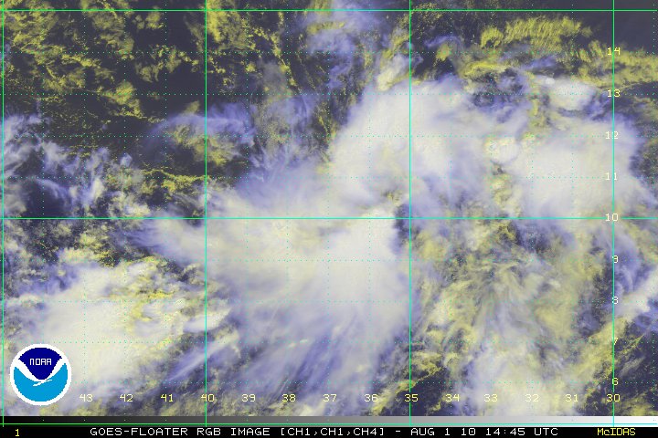
RGB Satellite image
AVN Satellite image

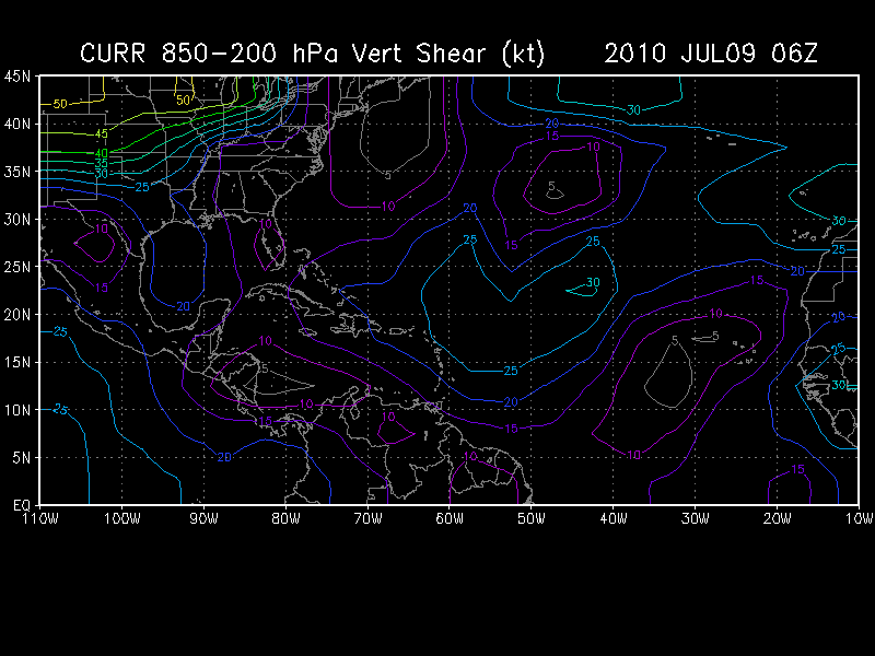
With the SST’s in the area at around 29° centigrade and the SAL to the north of 91L along with the wind shear at 10-20 knots, further development is a distinct possibility. The only negatives for any development for 91L is the MJO, which favors downward motion over the tropical Atlantic and as stated earlier, being to close to the Equator.

Later in the week, as 91L approaches the Lesser Antilles, a strong upper-level low near Puerto Rico is forecast to bring high levels of wind shear. This would hamper any quick intensification. As usual, any long range forecasts will have changes so to state where and how strong any system will be is just speculation.

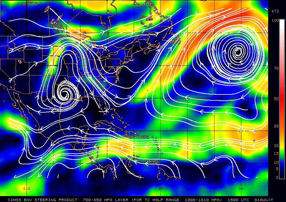
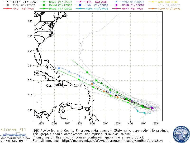
Steering layer forecasts to keep 91L on a WNW track at least for the next 1-2 days, after that a WNW – NW motion is forecast. All those in the Leeward Islands should keep a eye on 91L.
Wind Shear
8am models
Categories
Tropical Weather

A Merging Tropical Wave?

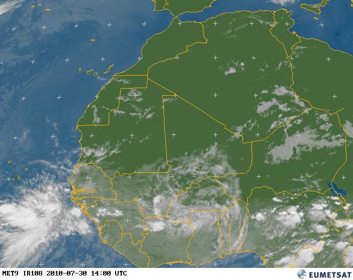
A new wave has emerged of of the coast Africa today with excellent cyclonic turning.

Met - 9 Satellite image

This wave may interact with Invest 90L and possibly “merge”. Actually, they would not merge but one system would be stronger than the other. The weaker system would be “pulled in” to the other.

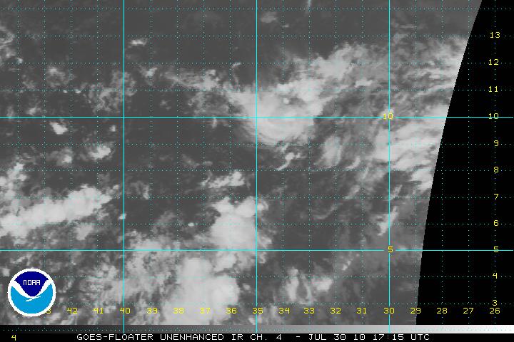
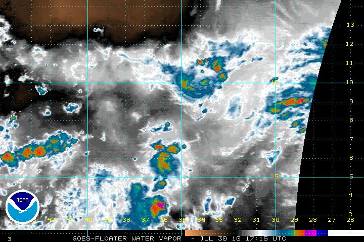
Invest 90L is still in the ITCZ and is struggling a little due to dry air to the north and also just south of due west. Because of this dry air any development will be slow to occur.

IR Satellite image
Water Vapor Satellite image

Just looking at satellite loop imagery, the chances for the wave to interact with Invest 90L are conceivable, but it may take 24-72 hours to do so, if at all. The forecast does seem to indicate that upper level winds will decrease and become favorable within the same time frame as above.

Categories
Tropical Weather

Invest 90L

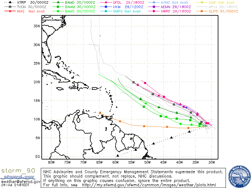
The tropical disturbance that had rolled off the coast of Africa yesterday has now been designated as Invest 90L. This system has very good cyclonic turning but the one thing that 90L has a problem with is that it is embedded within the ITCZ.  It will be very difficult to develop within the ITCZ as it has to compete with the surrounding convection along with the rest of the atmospheric conditions. Once it breaks free of the ITCZ and can maintain the convection on its own then there is good chance it will develop other wise it will just be stormy weather in South America. I do feel that 90L will break it self away from the ITCZ and models do think this may develop. The initialization of the models run are new and might have some bias in them.

IR satellite image of 90L
Models for 90L

Some may wonder why is the Invest number 90L instead of 100L. The invests start off with 90 and end at 99. Once 99L is used they return back to 90L.

Categories
Tropical Weather

Two New Tropical Waves

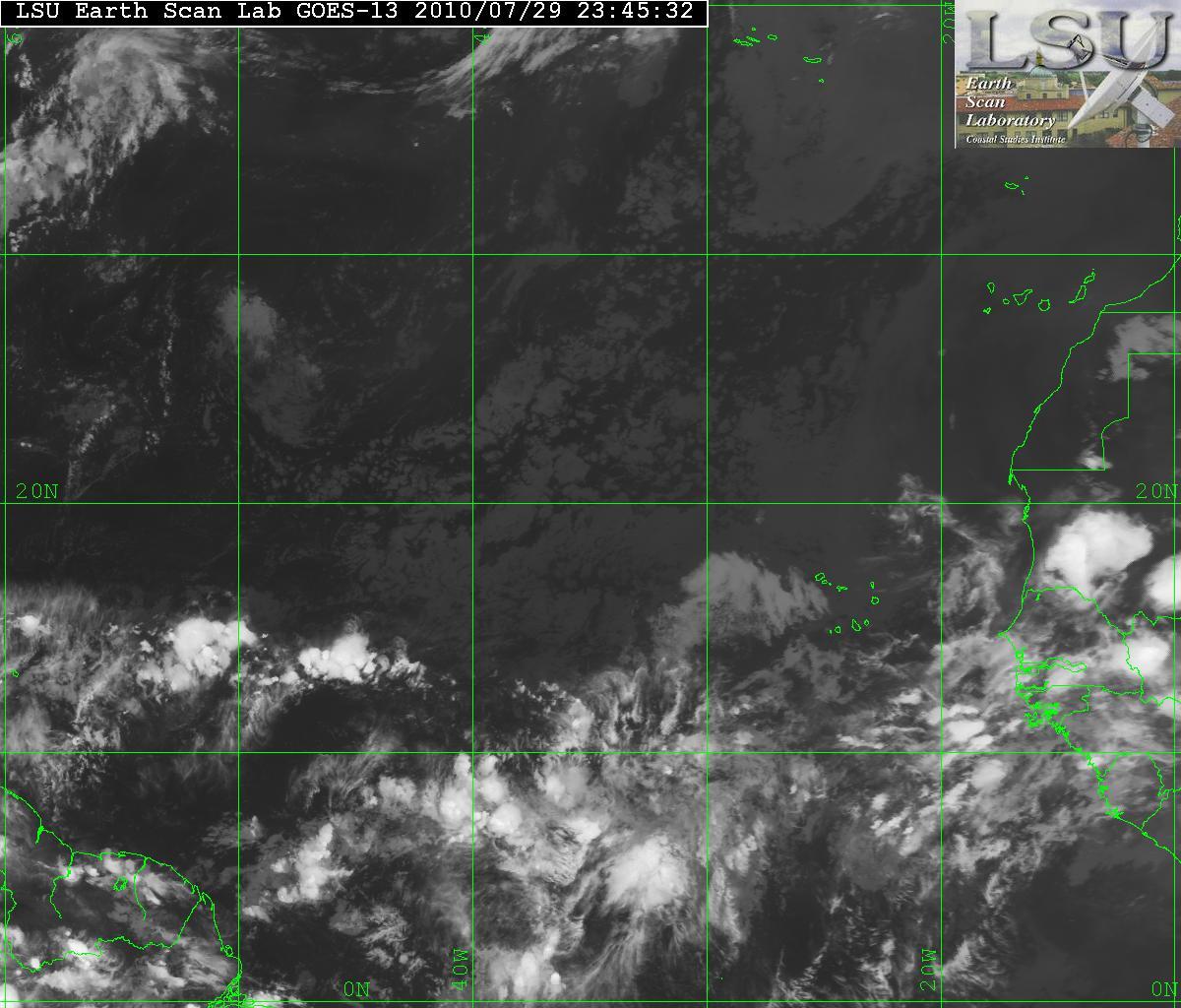
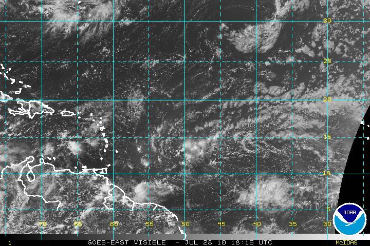
A very large tropical wave in the central Atlantic (located near 40°W) with some very good cyclonic turing is looking like something we need to keep an eye on eye. The wave has had problems with dry air lately. At the moment, the wave will continue to struggle but shortly thereafter, it will be in a better enviroment as upper level winds should relax and the wave will be more conducive for possible development.

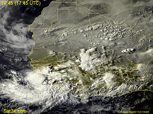
Visual Satellite image

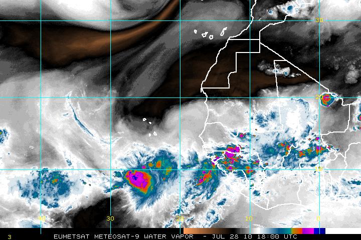
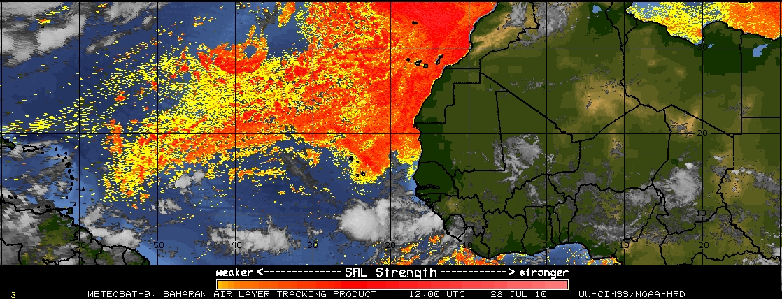
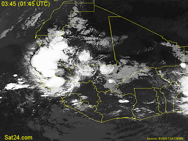
Another wave which has just come off the coast of Africa is also another area that has to be watched. Some of the Global Forecasting models been to want to develop this wave. This wave also has some very good cyclonic turning. To the north and south of the wave there is some dry air but is minimal and the SAL is also at low levels. This has a chance to be the first CV (Cape Verde) system of the season. Given that most of the tropical waves previously had SAL or upper level winds that hampered any tropical devolpment, this wave should do much better.

AVN Satellite image
Water Vapor Satellite image
SAL

Of the two waves, if one only had a chance to develop, the latter wave is the one I would have to choose.

Categories
Tropical Weather

Tropical Weather Acronyms

Please note: All the Tropical Weather Acronyms have been placed above in the Navigation Bar.

While there is a lull in the tropics with no Invests or anything that looks suspicious tropic wise, I have posted a list of acronyms relating to tropical weather.

ACE: Accumulated Cyclone Energy
AMO: Atlantic Multidecadal Osillation
ATCF: Automated Tropical Cyclone Forecasting system
AVN: AViatioN run of the NCEP Medium Range Forecast(MRF) model
BAM: Beta and Advection model
BAMD: BAM Deep (for deep/vertically tall systems)
BAMM: BAM Medium (for medium-depth systems)
BAMS: BAM Shallow (for weak systems/systems steered by shallow aspects of the atmoshpere)
BOC: Bay Of Campeche
CAA: Cold Air Advection
CATL: Central Atlantic
CARCAH: Chief, Aerial Reconnaissance Coordination, All Hurricanes
CDO: Central Dense Overcast
CFS: Coupled Forecast System & Climate Forecast System
CIMSS: Cooperative Institute for Meteorological Satellite Studies
CLIPER: CLImatology and PERsistence statistical track forecast model
CMC: Canadian Meteorological Center model
CONUS: CONtinental United States
CV: Cape Verde
Dmax: is Diurnal Maximum is an intense flare up at convection just before sunrise and DMIN is the opposite. Dmax occurs just before sunrise when the differences in temperatures between the ocean and the air are the greatest; helps to create instability and convection
Dmin-is for Diurnal Minimum; this occurs just before sunset when the differences in temperatures between the ocean and the air are the least; generally a weakening in convection occurs at this time.
EATL: East Atlantic
ECMWF: European Center for Medium range Weather Forecasting
ENSO: El Nino/Southern Oscillation
EPAC: Eastern PACific
EWRC: EyeWall Replacement Cycle
FROPA: FROntal PAssage
FSU MM5: Florida State University model
GEFS: Global Ensemble Forecast System model
GFDL: Geophysical Fluid Dynamics Laboratory model
GFS: Global Forecast System model
GFDL: Geophysical Fluid Dynamics Laboratory
GFS: Global Forecast System
GOMEX: Gulf Of MEXico
HDOB: High Density OBservations
HWRF: Hurricane and Weather Research Forecasting model
ITCZ: InterTropical Convergence Zone
LBAR: Limited area sine transform BARotropic model
LLLC: Low Level Circulation
LLJ: Low Level Jet
MCC: Mesoscale Covective Complex
MDR: Main Development Region
MJO: Madden Julian Oscillation
MM5: FSU Mesoscale Model
MRF: Medium Range Forcast model
MSLP: Mean Sea Level Pressure
MEI: Multivariate ENSO Index
NAM: North American Mesoscale Model
NAO: North Atlantic Oscillation
NCATL: North Central Atlantic
NESDIS – National Enviromental Sattelite Data Information Service
NEWD: Northeastward
NHC90/NHC91: statistical track forecast models
NHC: National Hurricane Center
NOGAPS: Navy Operational Global Atmospheric Prediction System
NWD: Northward
ONI: Oceanic Nino Index
QBO: Quasi Biennial Oscillation
PDO: Pacific Decadal Oscillation
POD: Plan of the Day (Recon flights)
RUC: Rapid Update Cycle
SAL: Saharan Air Layer
SEUS: SouthEast U.S.
SFMR: Stepped Frequency Microwave Radiometer (measures wave frequencies from the surface for wind direction/speed of systems)
SLOSH: Sea, Lake, and Overland Surge due to Hurricanes
SOI: Southern Oscillation Index
SPC: Storm Prediction Center
SSD: Satellite Services Division
SST: Sea Surface Temperature
STD: SubTropical Depression
STJ: SubTropical Jet
SWEAT: Severe WEAther Threat
SWWD: Southwestward
T-number: Dvorak current intensity (1.0-8.0)
TPC: Tropical Prediction Center
TCPOD: Tropical Cyclone Plan Of the Day
THCP: Tropical Cyclone Heat Potential
TUTT: Tropical Upper Tropospheric Trough
TPW: Total Precipitable Water
UKMET: United Kingdom METeorological office (global forecast model run by the UK)
ULL: Upper Level Low
VV: Vertical Velocity
WW3: Wave Watch 3 model
WPAC: Western PACific
UTC: Universal Time Coordinated (same as Zulu time)
XTRP: Not a model. Short for Extrapolation. Dead reckoning plot of a storm if it kept in a straight line, with no other forces acting upon it.

Categories
Tropical Weather

Tropical Depression #03 now Tropical Storm Bonnie

Invest 97L has now been upgraded as Tropical Depression #03.

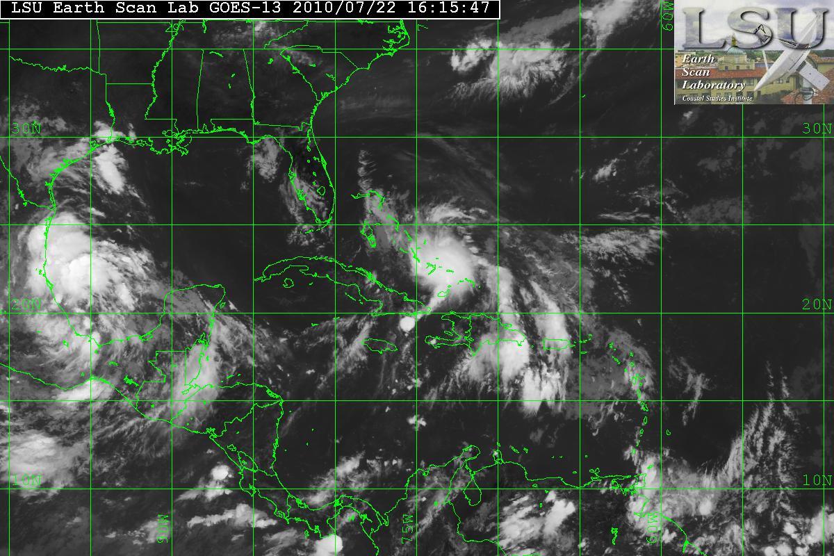
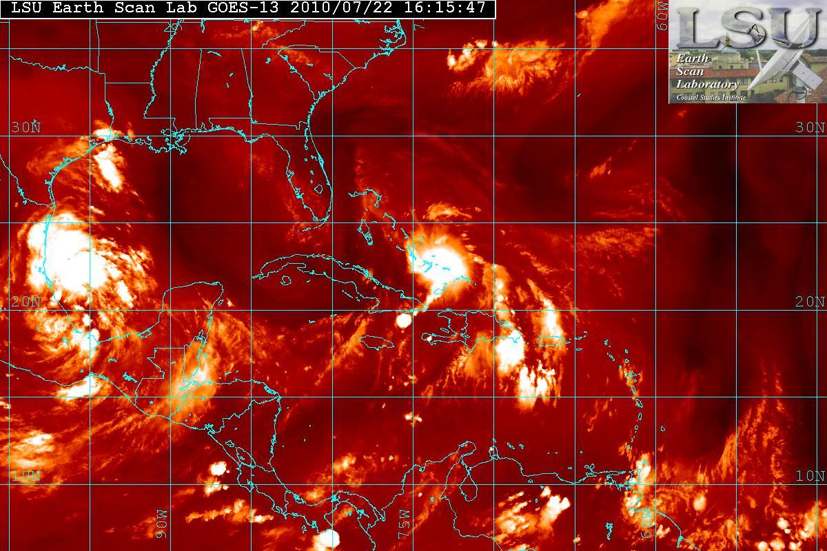
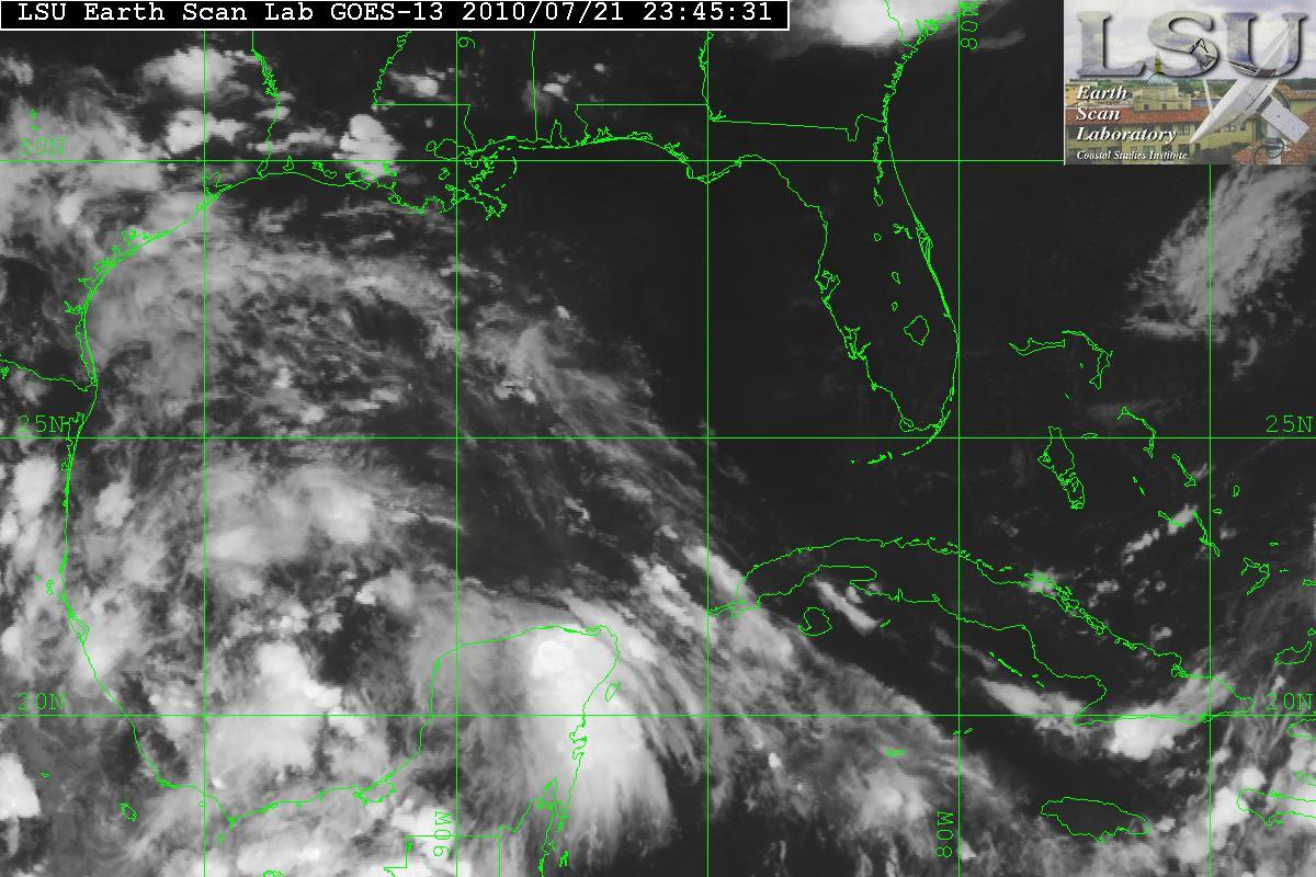
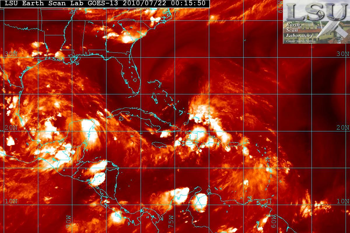
Satellite loop imagery indicate the depression continues to become better organized. The satellite imagery seem to indicate the LLC is trying to tuck underneath the recent flare of convection to its east, along with some wrapping around the the convection just west of the center. This basically is an indicator that the depression is starting to gain some strengthening. The satellite also is showing that the ULL that is over Florida is retrograding westward at a moderate pace.

IR satellite image
Water Vapor satellite image

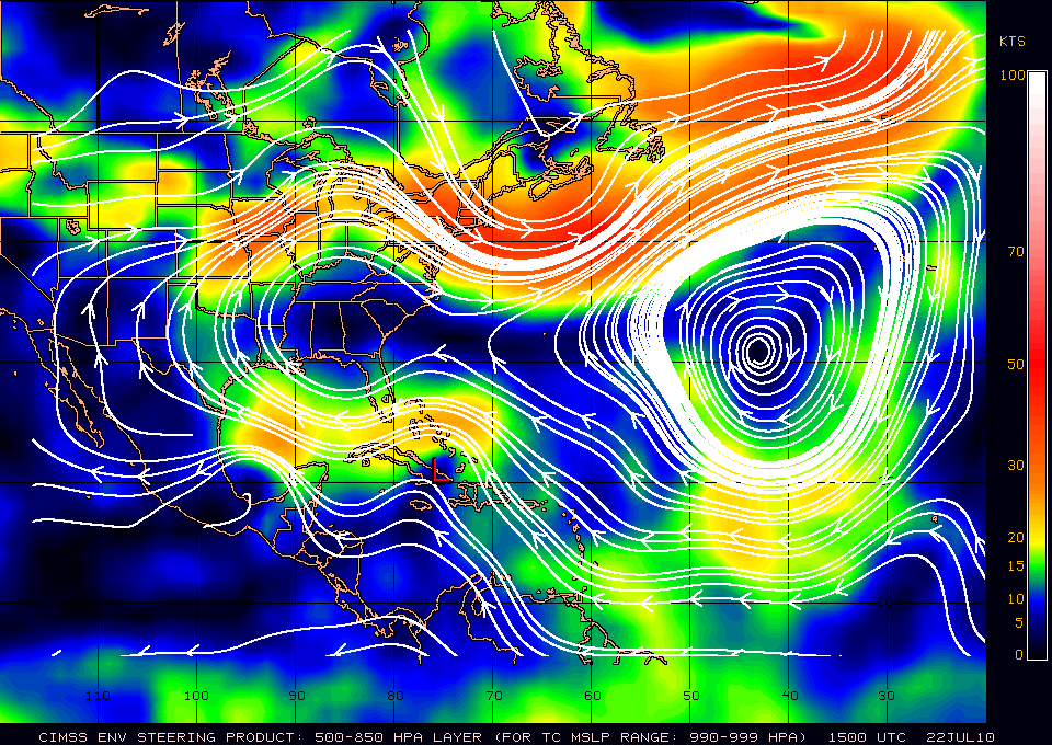
Current motion is placed at WNW or around 295°. Based on the forecast steering layer map from CIMSS – the forward motion should be a WNW for at least 24-48 hours. A slight weakness is noticed north of the Bahamas, the center may be moving toward the convection. There is a slight weakness in the ridge so there is a northern tug because of that weakness.

Steering layer

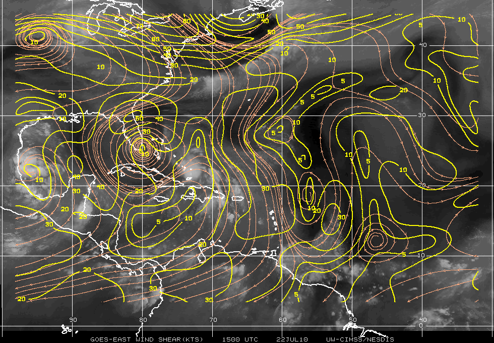
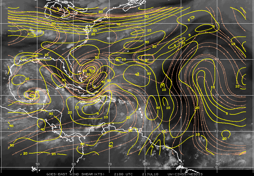
Shear map from CIMSS is indicating that an upper level anticyclone is becoming more apparent over the area. This will allow improved outflow in the upper levels at the 300-200mb range.

Latest Shear

An Air Force Reconnaissance plane is approaching the depression right now. I will try to update this post with any new information later.

Categories
Science Tropical Weather

Invests 97L & 98L

The tropics are now heating up and becoming active.

An area in the BOC(Bay of Campeche) has become designated as Invest 98L. The satellite image does show an organizing system with very large amounts of convection along with an anticyclone over it. This also has SST’s of 28° Celcius and the anticyclone it is providing a very good outflow. 98L may have the potential to become Tropical Storm Bonnie. Invest 97L is not as organized as 98L due to moderate amounts of shear and dry air. 98L is currently heading NW-WNW and possibly inland within 72 hours.

Invest 98L
Shear


As mentioned – 97L is having problems trying to organize. The data from the NOAA Gulfstream IV jet took samples of the enviroment around 97L and it indicated that the upper-level winds were not conducive for development at least for the moment. The enviroment will probably be changing and within 24-36 hours shear may relax as the upper level low to the north west will be retrograding to the west allowing for a better chance for 97L to develop. In fact, during the day today 97L looked like it was trying to develop a LLC(Low Level Circulation) but all the convection to the right side of the “LLC” was being sheared. The quadrants to the the south and west had no convection due to the dry air and shear. Dry air in the image below is the darker area.

Water Vapor & Dry Air Image

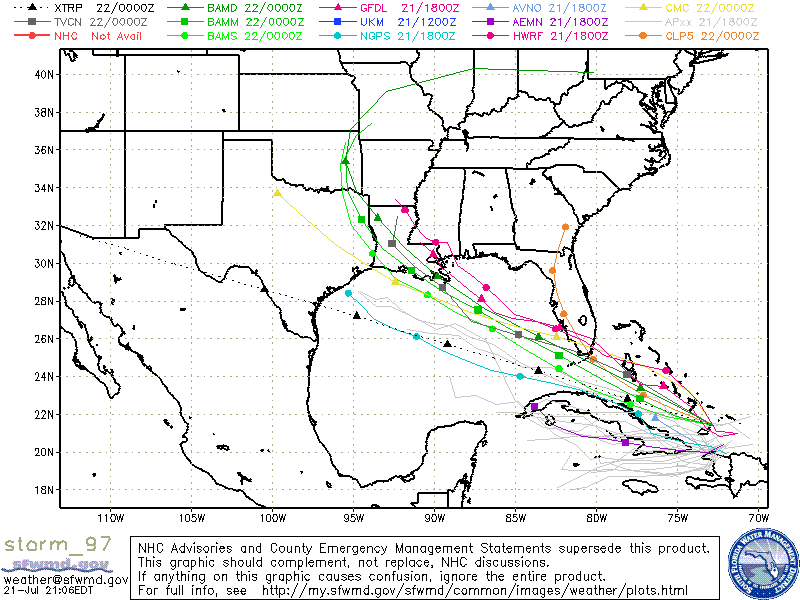
Models seem to indicate that 97L will probably in the South Florida area, at least as Tropical Depression or posssibly as a Tropical Storm. Hurricane development is not indicated at this time.

Categories
Tropical Weather

Invest 97L

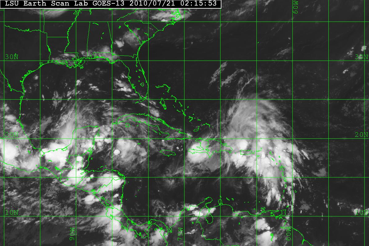
A new large tropical wave has been classified as INVEST 97L. The tropical wave was located near 19.8N 68.5W as of 0215Z . The convection activity is no longer limited in scope as it is being enchanced by the diffuent flow on the eastern edge of a TUTT low (Tropical Upper Tropospheric Trof). Shear over the system is in the range of 10-15 knots.
Steering flow should keep 97L to the WNW. Although the models seem to keep wave in the Florida Straights for a day or two – this system bears watching. Most models seem to put 97L over South Florida and either be a Tropical Depression or Tropical Storm.

97L - Latest IR Image
Categories
Tropical Weather

Tropics quiet

At least for now the tropics are somewhat quiet. There is a strong wave that is now moving into Central America. It won’t be able to develop while over land but once it emerges into the Pacific, the system may develop. There are a few models that are hinting that it will. Since most EPAC systems head west and don’t touch the US mainland, I mainly will be talking about the Atlantic basin.

A strong and organized wave has emerged off the coast of Africa. It is around 9 N latitude and that places well south of the SAL that has been in the Eastern Atlantic. The AEJ (African Easterly Jet) will help in building convection. There is a chance that it might develop and the GFS model thinks it just might do so.  For now I would give it a 30% chance. As it heads west – chances will probably drop unless it can maintain the convection.

Wave off of Africa
Categories
Tropical Weather

Impressive wave

A new very impressive wave is just coming off western Africa coast and another is following it. Will it have a chance to develop it to something tropical?

Wave off Africa

At the moment I do not see the MJO (Madden Julian Oscillation) as a factor. During the summer the MJO has a modulating effect on hurricane activity in the Indian Ocean, the western and eastern Pacific and Atlantic basin.
The MJO is characterized by an eastward progression of large regions of both enhanced and suppressed tropical rainfall.

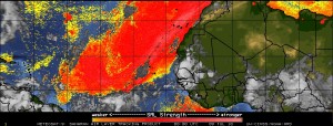
The SAL (Saharan Air Layer) maybe a factor. The SAL at times can be a very intense, dry and dusty layer of the atmosphere. This can suppress any tropical cyclone development. The image from CIMSS shows a major layer of dust in the Eastern Atlantic.

SAL

Vertical Shear is in the 15-20 knot range but is is decreasing as the wave moves westward.

Vertical Shear

The SST’s (Sea Surface Temperature) in the area are above average (anomaly) and are 28°-29° Celsius or (82° – 84° Fahrenheit). Tropical Cyclones tend to need a minimum of 26° Celsius and above for anything to develop.

It is still to early to what will transpire with this wave but this is the time of year when storms will soon be developing in the Eastern Atlantic rather than the Caribbean or Gulf of Mexico. My own feeling is that won’t develop and can be counted out for at least the next couple days or will dissipate entirely.