|
|
| CURRENT TIME (based on your computer's time): | |
Storm Floater 6
|
Storm Floater 7
|
Storm Floater 8
|
Storm Floater 9
|
|
MTSAT Floaters |
MTSAT Floater 1
|
METSAT Floater 2
|
METSAT Floater 3
|
METSAT Floater 4
|
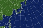
West Pacific - Wide View 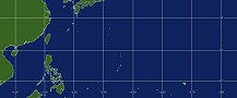 |
East & Central Pacific - Wide View 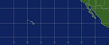 |
|
|
|
POES Sea Surface Temperatures |
Polar Image Composites |
Floaters |
System Status |
||
| Image | Atlantic | Pacific | |||
| Loop | Atlantic | Pacific | |||
|
Storm Floater 6
Storm Floater 8
|
Storm Floater 7
Storm Floater 9
|
||||||||||||||||||||||||||||||||||||||||||||||||||||||||||||||||||||||||||||||||||||||||||||

